Sectors

Built for the sites that are hard to measure.

Three areas of work where a measured record changes the outcome, and where a missed dimension costs the most.

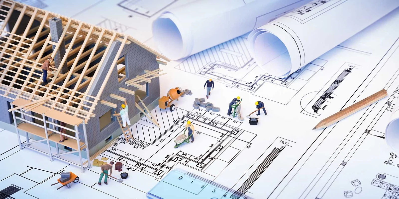
Scale model of a house under construction on top of architectural drawings Sector 01

[01] Architecture

Architecture and construction.

Space planning, structural dimensioning, and a check of the built work against the design model. Hard-to-reach areas come back in the same capture.

Space planningConstruction verificationClash detectionAs-built
Explore sector → Sector page template

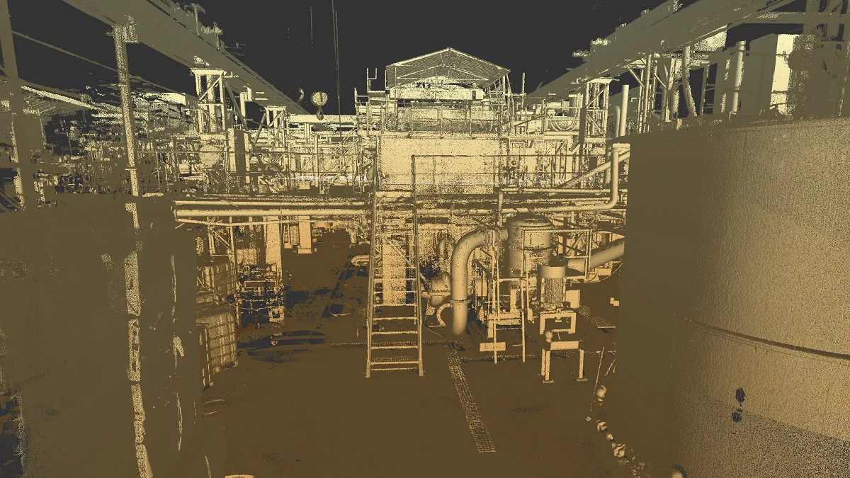
Point cloud of an industrial plant with pipework and stairs Sector 02

[02] Industry

Industrial, commercial, mining.

Non-invasive, so the scan limits the chance of damage and does not interrupt the workflow. Useful where a site also needs areas marked for restoration.

Clash detectionRegistered point cloudTopographical
Explore sector → Opens the shared sector template
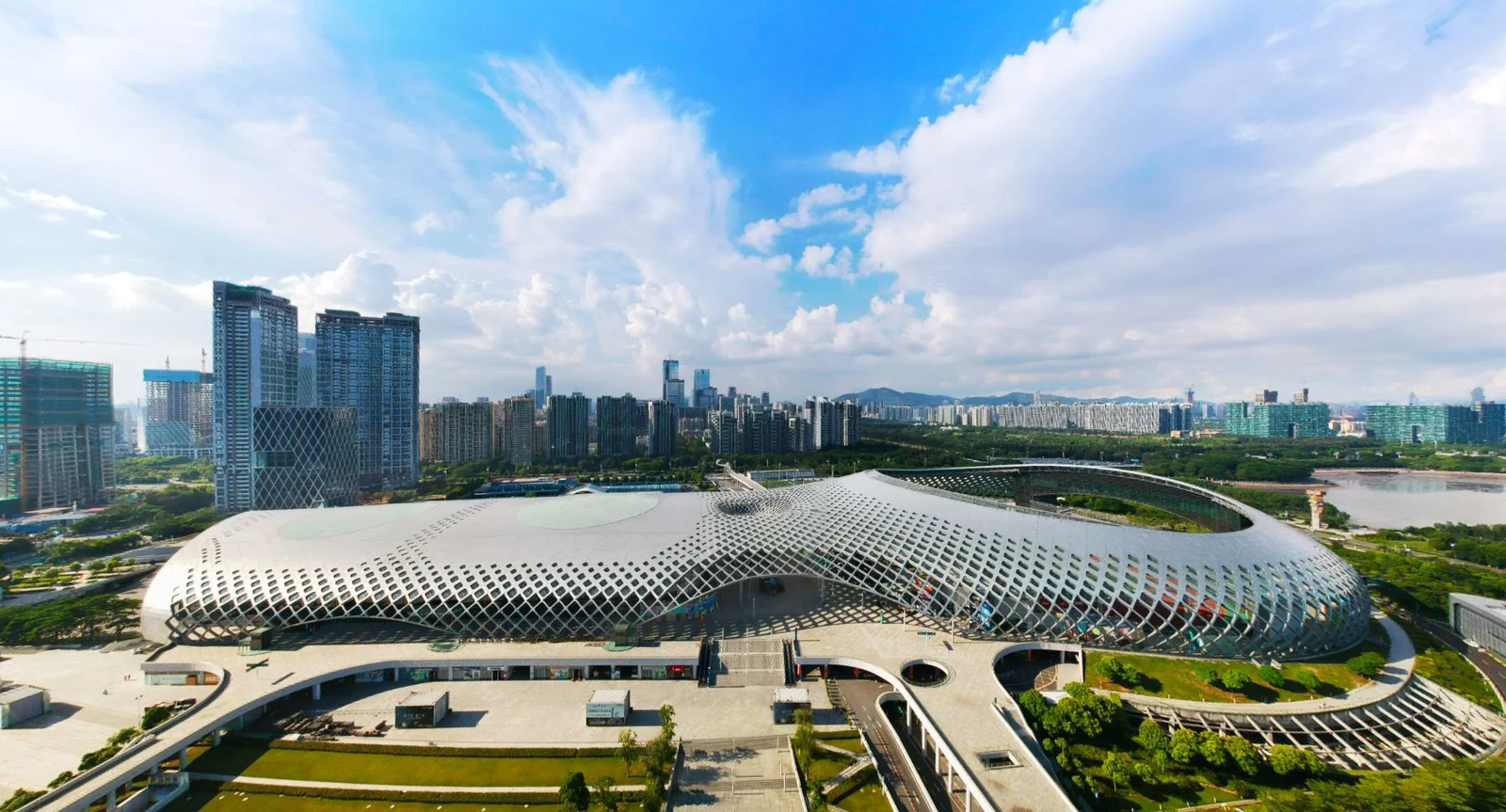
The Union Buildings in Pretoria behind formal gardens Sector 03

[03] Heritage

Heritage and government.

One visit instead of several. More of the building in the record, and less rework caused by a thin or inaccurate survey, without opening up a building that should be left alone.

As-builtRegistered point cloudSpace planning
Explore sector → Opens the shared sector template

In every sector

The same four advantages.

Whatever the building, the scan is chosen for the same reasons.

01

Fast

Survey to model in a fraction of the time of traditional methods.

02

Accurate

Millimetre accuracy, with a variance tolerance report on each scan.

03

Non-invasive

Nothing cut, opened, or closed. The site keeps working.

04

Cost effective

Less time on site, and less redrawing because the first capture held the detail.

Start a project

Tell us about the site.

A short note on the building, the deliverable you need, and where it is. We will come back with an approach and a quote.